Understanding Osgoode's boundaries
The City's village planning map, the community association's area and Statistics Canada's population centre describe different geographies; use the definition attached to each fact.
Osgoode is a village in rural south Ottawa, within Osgoode Ward. Its railway history includes service on the Bytown–Prescott line, with Osgoode appearing in an 1854 timetable. Local destinations along Osgoode Main Street include the library and the community centre with Stuart Holmes Arena. The former railway corridor also became a recreational pathway.
Updated · Facts on this page link to their sources
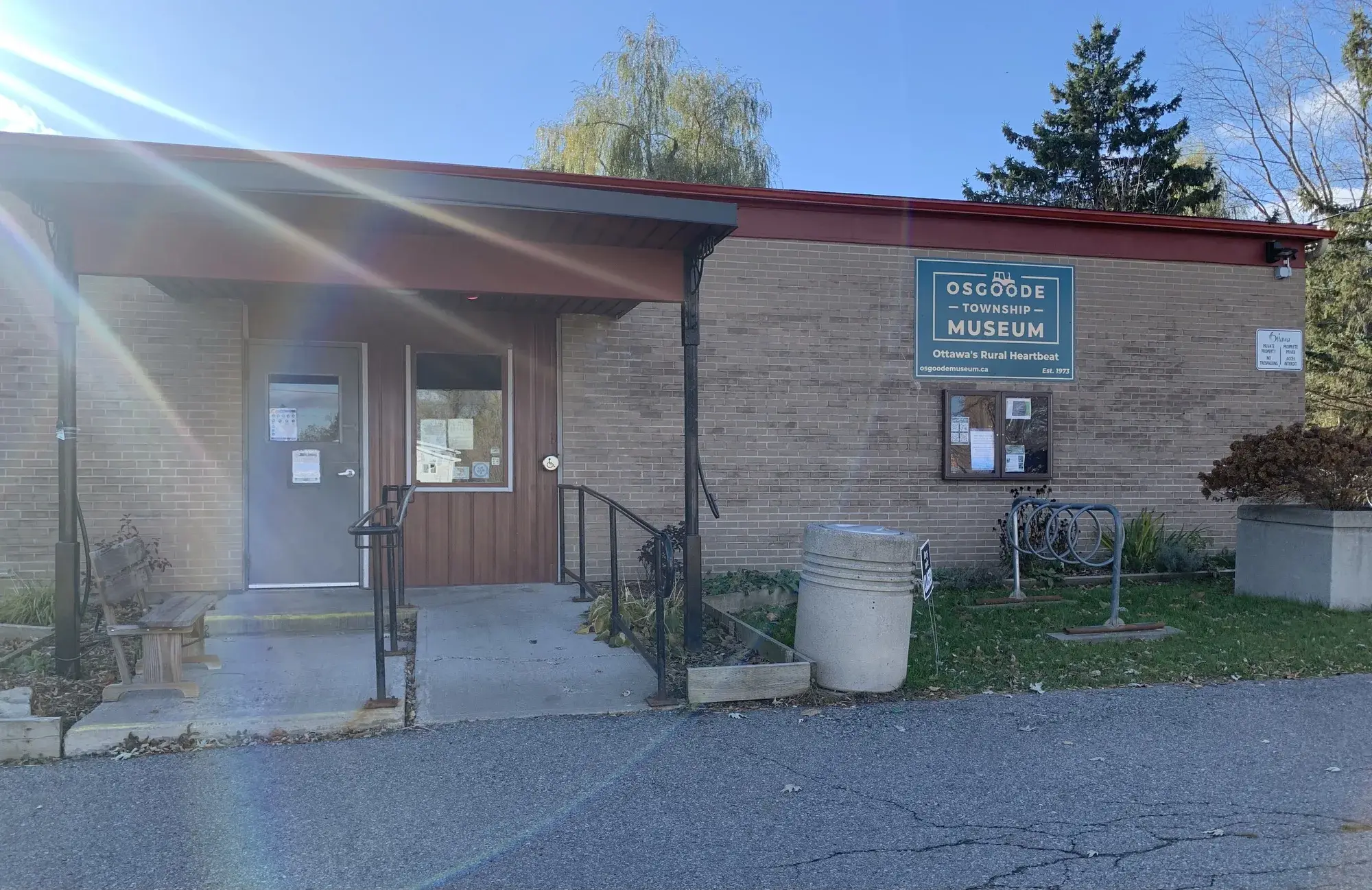
Osgoode Township Museum. Photo: Itmejayz, CC0, via Wikimedia Commons 01Osgoode
Explore Osgoode’s village setting, schools, parks, essential services and connections to Ottawa.
Definitions vary: the City's planning boundary is mapped on Schedule Q, Village of Osgoode, in the Consolidated Villages Secondary Plan. The community association describes a wider area extending from the Rideau River in the west to an eastern line through Stagecoach Road and Fourth Line Road, with a northern limit just north of Waterfront Road and a southern limit along Dalmeny Road to the river. These association limits are not a substitute for the City's village boundary.
Quick answers
Short answers first; each links to the full answer and its sources.
Where is Osgoode?
Osgoode is a village in the rural south of the City of Ottawa, Ontario, within Osgoode Ward. The village is east of the Rideau River.
As of 2026-10-30 · en.wikipedia.org
What are homes like in Osgoode?
Osgoode includes detached homes and smaller residential lots along its main street, as documented in a City planning report for Reids Lane. The report describes village residential policy as generally low rise and low density; it does not provide a complete inventory of existing homes.
As of 2026-10-30 · webcast.ottawa.ca
Are Osgoode village, Osgoode Ward and Osgoode Township the same place?
They are different geographic references: Osgoode is a village within Osgoode Ward, while Osgoode Township was the former municipality. The village became part of the City of Ottawa through amalgamation in 2001.
As of 2026-10-30 · en.wikipedia.org
Where do Osgoode's boundaries start and end?
The official village planning boundary is shown on the City's Schedule Q map for Osgoode. The community association uses a wider area reaching the Rideau River and Dalmeny Road, so its definition should not be used as the planning boundary.
As of 2026-10-30 · documents.ottawa.ca osgoodevillage.org
What is the population of Osgoode?
Statistics Canada counted 2,535 residents in the Osgoode population centre in the 2021 Census. That geography covered 2.97 km² and is not the whole of Osgoode Ward.
As of 2026-10-30 · www150.statcan.gc.ca
How do I confirm a school's catchment before moving to Osgoode?
Use the relevant board's school directory or boundary service with the exact home address and grade. OCSB explicitly says its boundary maps are illustrative and directs families to its address-based school locator.